File:Map D.png
Revision as of 08:14, 8 January 2021 by WikiSysop (talk | contribs) (The historic centre of Falkland: Map D from Playfair and Burgess, ''Falkland and its people 1901–1913''.)
No higher resolution available.
Map_D.png (718 × 450 pixels, file size: 171 KB, MIME type: image/png)
Summary
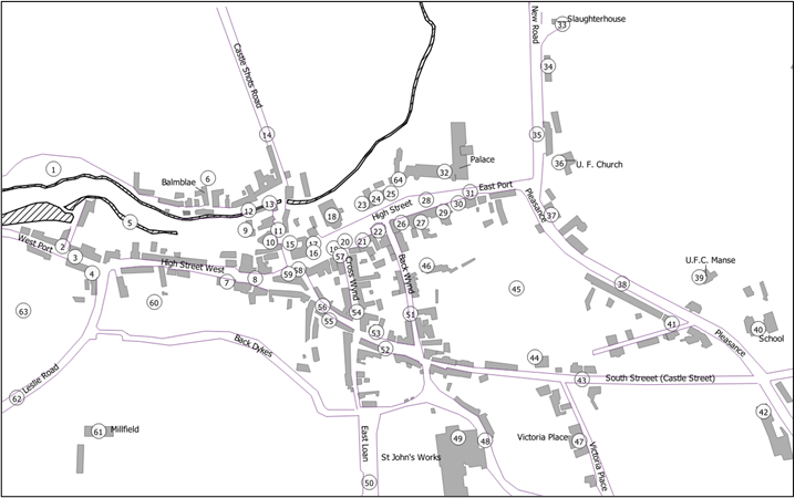
The historic centre of Falkland: Map D from Playfair and Burgess, Falkland and its people 1901–1913.
File history
Click on a date/time to view the file as it appeared at that time.
| Date/Time | Thumbnail | Dimensions | User | Comment | |
|---|---|---|---|---|---|
| current | 08:14, 8 January 2021 | | 718 × 450 (171 KB) | WikiSysop (talk | contribs) | The historic centre of Falkland: Map D from Playfair and Burgess, ''Falkland and its people 1901–1913''. |
You cannot overwrite this file.
File usage
The following page uses this file: