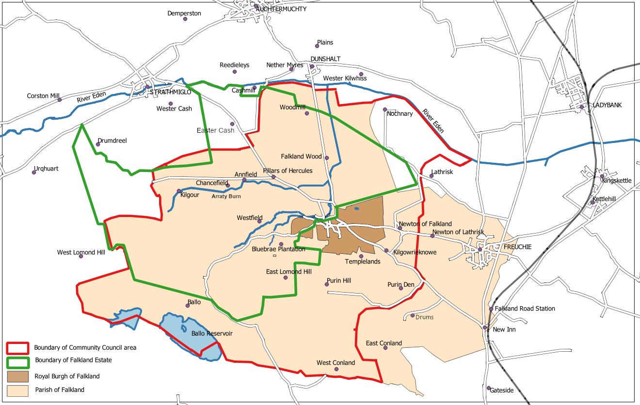
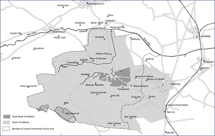
Map B
Revision as of 17:16, 22 December 2021 by WikiSysop (talk | contribs) (Created page with "The Parish of Falkland: '''Map C''' from Playfair and Burgess, ''Falkland and its people 1901–1913'' File:Map B.png Original black and white version from page 467...")
The Parish of Falkland: Map C from Playfair and Burgess, Falkland and its people 1901–1913
Original black and white version from page 467 of Playfair and Burgess

Enhanced version for a Falkland Society lecture, in colour and with Falkland Conservation Area boundary added.
